> ## Documentation Index
> Fetch the complete documentation index at: https://aminiai.mintlify.site/llms.txt
> Use this file to discover all available pages before exploring further.
# Map-based Visualization
> Quickstart guide in using the Amini Data Platform via the Webapp
The map-based visualization web application is only available for **Amini Enterprise users**. Please [contact us](https://www.amini.ai/contact) to inquire about an upgrade.
Welcome to the Amini webapp where you can visually experience the power of Amini insights on a simple and easy-to-use web application, you can launch directly from your browser.
In this tutorial, we’ll walk you through the basic onboarding flow, which is great for beginners and for people who are new to Amini’s platform.
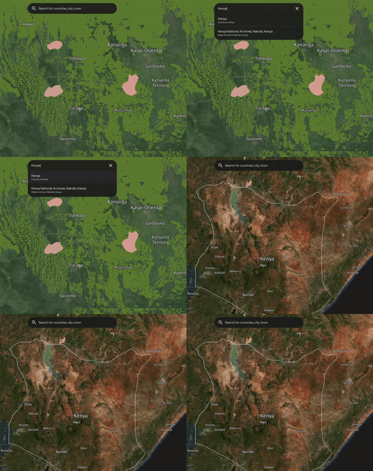
# 1. Search by location
Start by searching your area of interest by country.
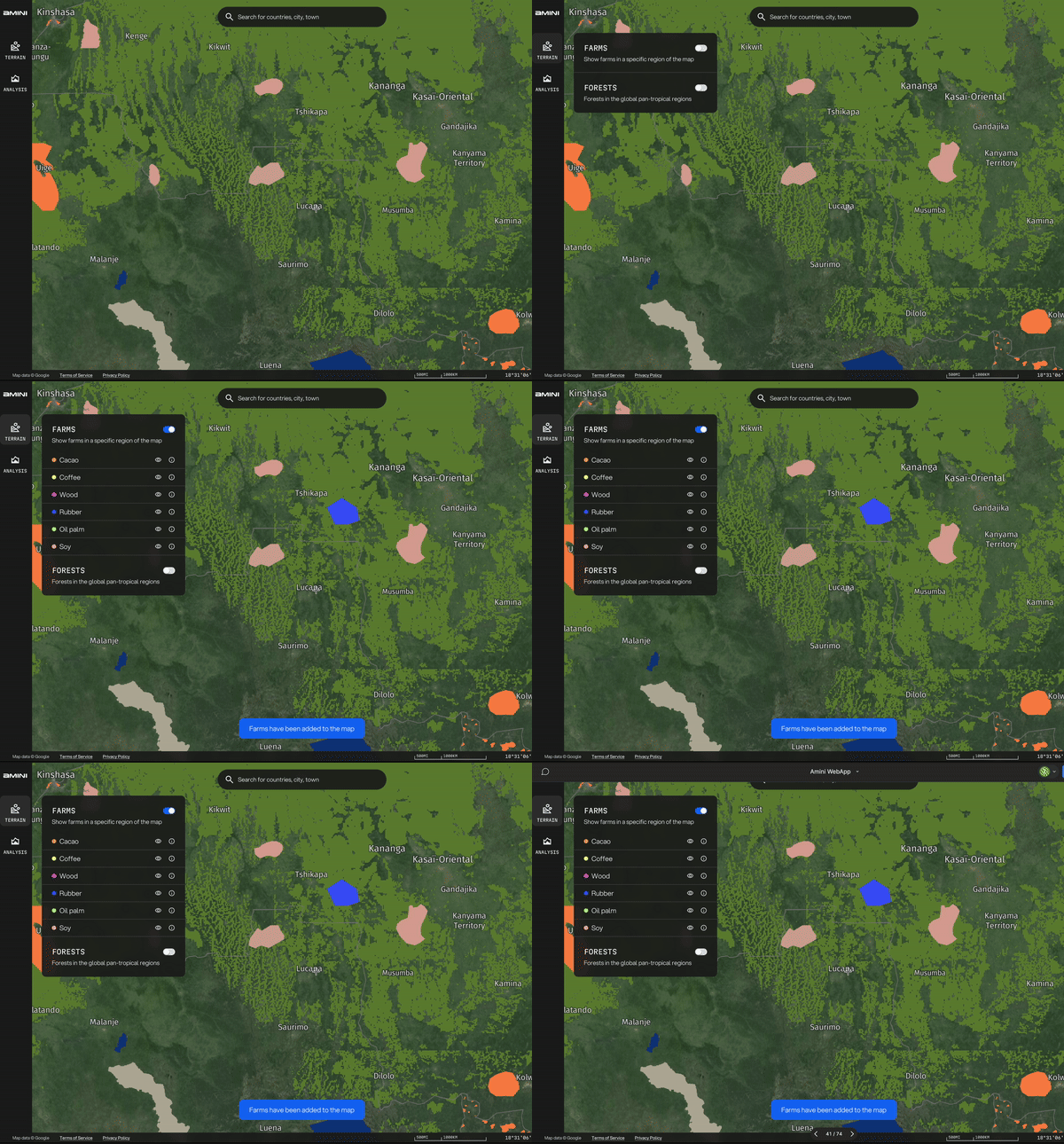
 # 2. Add farm layers
Toggle existing farm layers to see geopolygons of sample farms we have in our database.
# 2. Add farm layers
Toggle existing farm layers to see geopolygons of sample farms we have in our database.
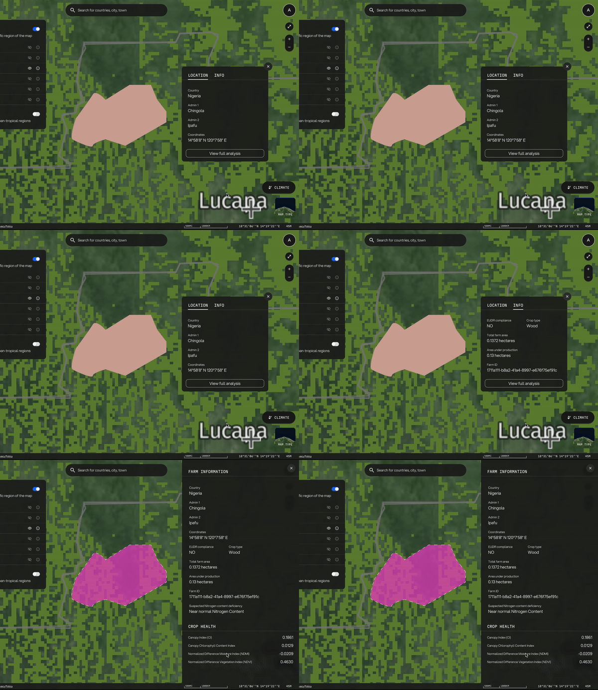
 # 3. View farm-level analysis
Understand vegetation and soil health down to a farm-level by viewing farm-level analysis.
# 3. View farm-level analysis
Understand vegetation and soil health down to a farm-level by viewing farm-level analysis.
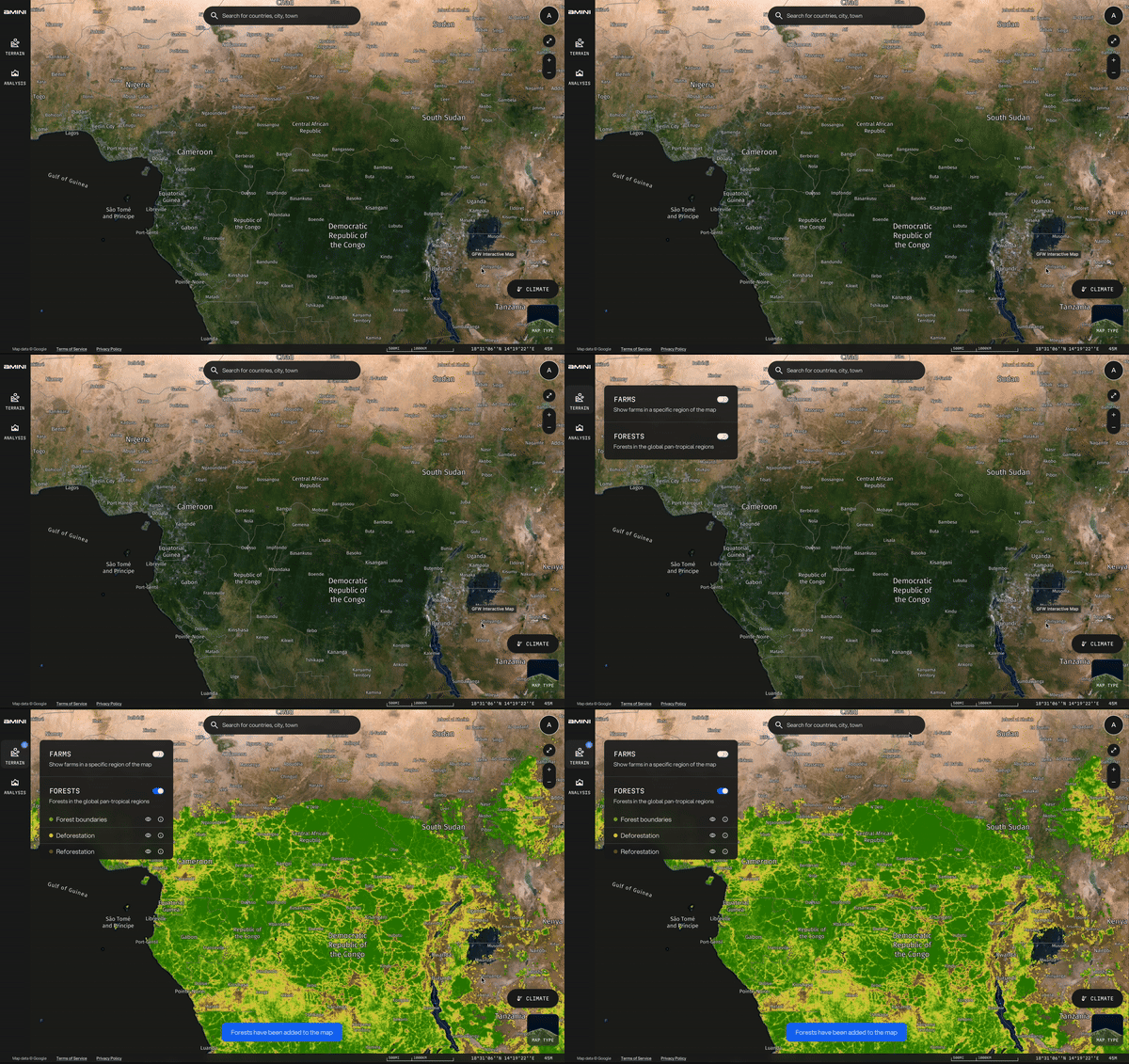
 # 4. Add forest layers
Toggle existing forest layers to understand where reforestation and deforestation has occurred in sample forest.
# 4. Add forest layers
Toggle existing forest layers to understand where reforestation and deforestation has occurred in sample forest.
 # 5. Explore the map and the hidden insights
See any hidden insights on farmlands that may be overlapping with deforested areas!
# 5. Explore the map and the hidden insights
See any hidden insights on farmlands that may be overlapping with deforested areas!